by Sarah Dance
I’ve just got back from attending the Society of Industrial and Applied Mathematics (SIAM) Conference on Dynamical Systems in the beautiful mountains of Snowbird, Utah, USA. I was invited to attend the meeting to give part of a Mini-Tutorial on Data Assimilation (available here) with Elaine Spiller and Eric Kostelich.
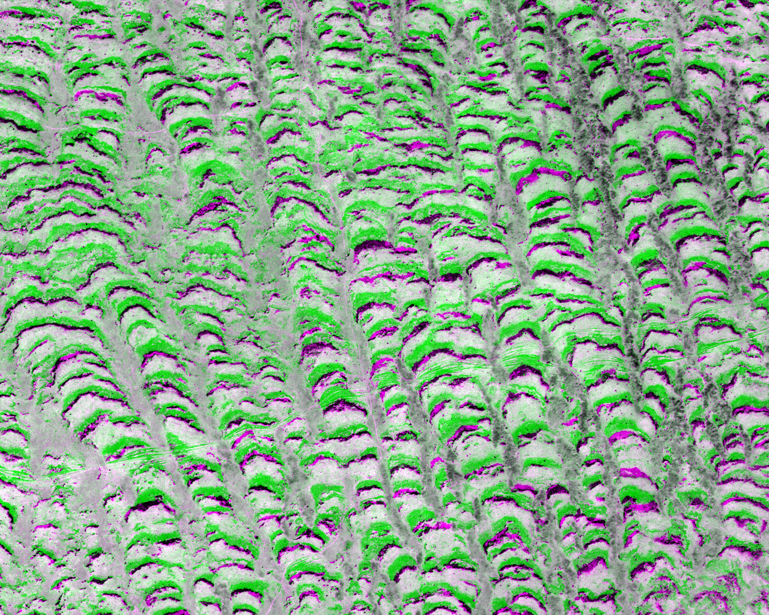
Even though my undergraduate degree and Ph.D. were in Applied Mathematics, I don’t tend to go to many Mathematics conferences. I often meet with fellow data assimilation practitioners at Meteorology conferences instead. So it was great to see people proving data assimilation related theorems, applying data assimilation in different applications like neuroscience and cancer treatment, and of course, to get some new ideas from dynamical systems approaches that have potential to be applied in different ways. I particularly enjoyed Mary Silber’s talk on using Landsat data to understand vegetation pattern formation in the drylands of Africa