I am an expert in soil hydrological processes and associated numerical modelling, monitoring, field and laboratory analyses, working as a research hydrologist at the Centre for Ecology & Hydrology (CEH). I have over 20 years’ experience in this area and my current interests include: (i.) monitoring wide area soil moisture using cosmic ray neutron sensors (COSMOS-UK network); (ii.) modelling the potential impacts of drought on catchment water resources under various climate, land use, water resources management and adaptation options; and (iii.) improved communication of scientific research and integration of lay and stakeholder knowledge.
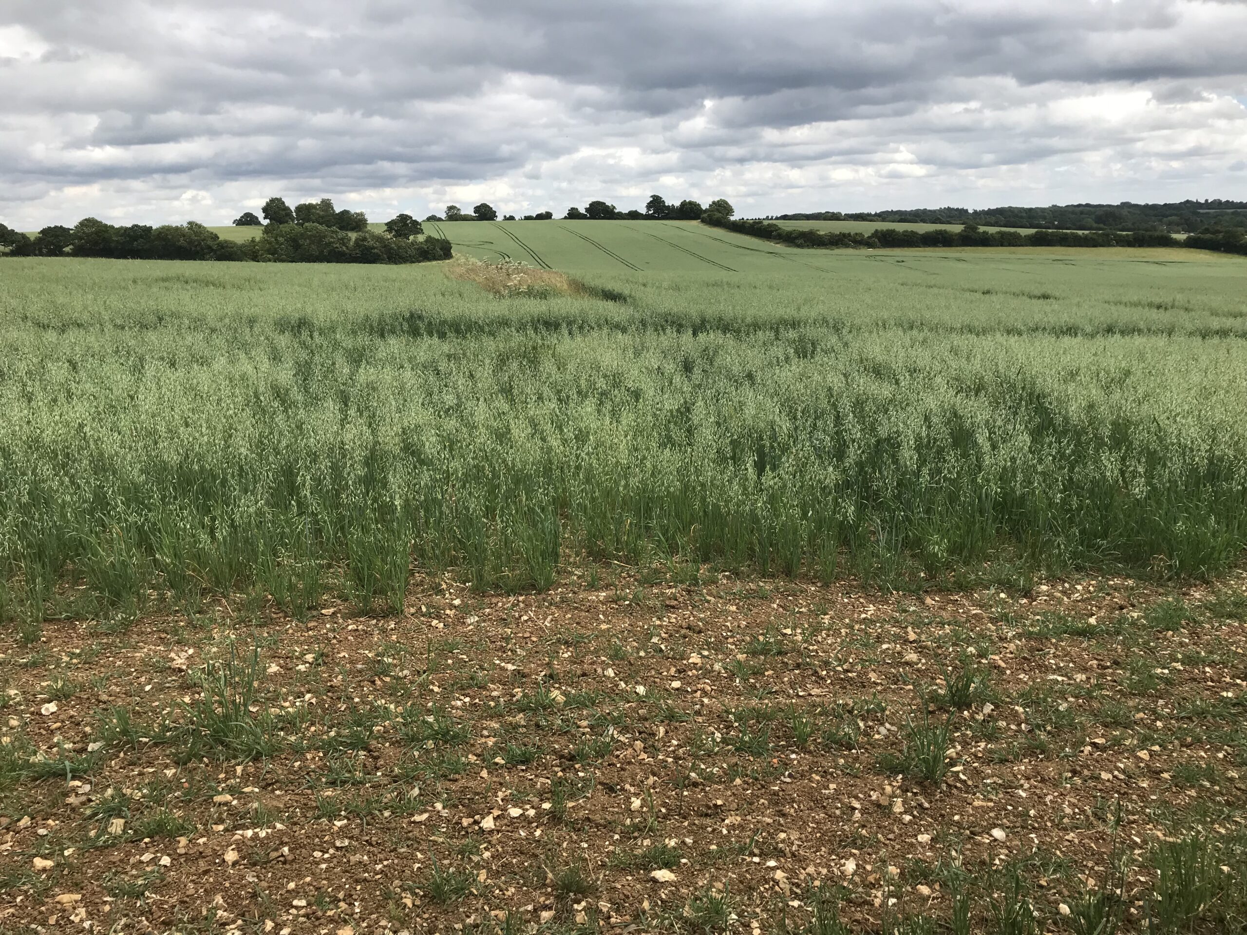
For the Landwise project, I lead Work Package 2 (WP2), which is using field surveys across the West Thames catchment to collect evidence about how soil and vegetation properties might be affected by natural flood management measures linked to land use and management, such as innovative farming practices. We are particularly interested in the potential for such measures to reduce flood risk by increasing the ability of the soil to absorb and store any rainfall which falls on it and to therefore reduce the amount of water which would otherwise flow relatively quickly over the land surface into ditches, streams and rivers.
![]() The WP2 researchers (CEH, University of Reading, British Geological Survey, Forest Research and University of Gloucester) are working closely with project partners (Farmers, Landowners, Farm Advisors and wider stakeholders) to co-produce surveys which integrate the many different forms of knowledge and understanding. This not only enhances the survey design, but also ensures that the findings from this research will be shared in appropriate ways for different audiences.
The WP2 researchers (CEH, University of Reading, British Geological Survey, Forest Research and University of Gloucester) are working closely with project partners (Farmers, Landowners, Farm Advisors and wider stakeholders) to co-produce surveys which integrate the many different forms of knowledge and understanding. This not only enhances the survey design, but also ensures that the findings from this research will be shared in appropriate ways for different audiences.
CEH and four Farm Advisor teams are initially carrying out a broad-scale near-surface field survey throughout the West Thames catchment. Field and lab work will measure properties including: soil texture, organic matter, moisture and dry bulk density, vegetation coverage, type and height, aggregate stability (slaking and dispersion), Visual Evaluation of Soil Structure (VESS). Additional earthworm surveys will be undertaken by University of Reading. This will be followed by a detailed survey, including soil properties at depth and repeated measurements over time, in selected locations. The following measurements are likely to be included: soil moisture retention, field saturated hydraulic conductivity, infiltration rate, near-surface soil moisture, soil moisture and bulk density transects, soil depth, vegetation properties including leaf area index, vegetation type and condition, vegetation height and cover. Additional soil hydraulic properties and soil porosity will also be inferred from the data collected.
As well as being valuable evidence in itself, data from this work package will support other Landwise activities. For example, soil moisture survey data will integrate with the remote sensing (WP3) and the measured soil properties will inform model parameterization (WP4).
Link to James’ CEH web page:
https://www.ceh.ac.uk/staff/james-blake
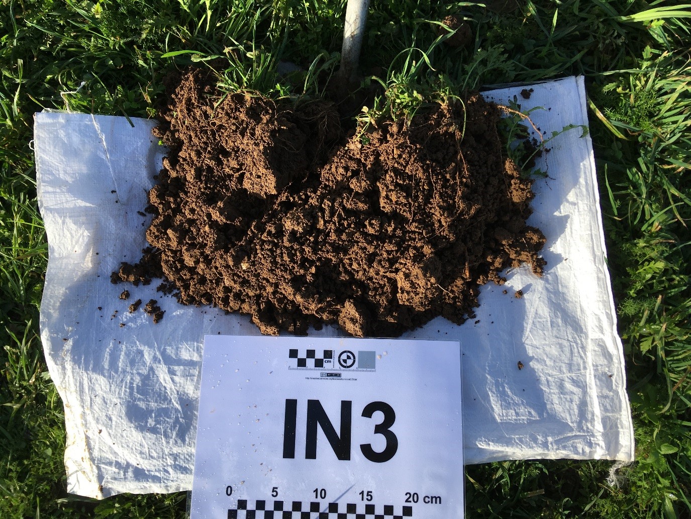
Soil sampling at the University of Reading’s Sonning Farm. The sample is from a trial organic rotation and has been broken up as part of a Visual Evaluation of Soil Structure (VESS) test.
Image: © Centre for Ecology & Hydrology
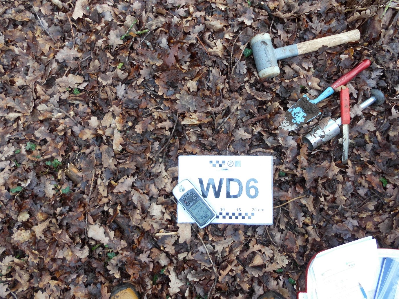
Soil sampling at the University of Reading’s Sonning Farm. Tools of the trade – hammer, trowel, volumetric soil sampler, spatula, survey card, GPS and record sheet (in a woodland setting).
Image: © Centre for Ecology & Hydrology