My role on this project is to use satellite data to identify and monitor changes in soil and vegetation, and extract useful information for modelling flood scenarios. I’ve worked in using remote sensing for two decades, both developing satellite instruments within the American and European space agencies and using those instruments to get information about the land surface.
There are currently about 600 satellites in orbit looking down on the Earth, operated
both privately and by government agencies. Some of them are sophisticated cameras capturing pictures, sometimes including light not visible to the human eye, which can be useful in estimating soil or vegetation temperature, identifying different plants or telling how dense or healthy they are. Some satellites use radar to make maps of topography, and some use wavelengths that can probe into the soil and vegetation to reveal how much water they contain. We can use this information, watching how temperature and soil water content change with time, to see how porous the soil layers are, and predict how quickly flood waters will be absorbed into the soil.
In collaboration with CGI and CEH, I will be evaluating the range of remotely-sensed data available, developing this data into useful information and helping to integrate it into models to improve our understanding of how landscape characteristics affect flooding.
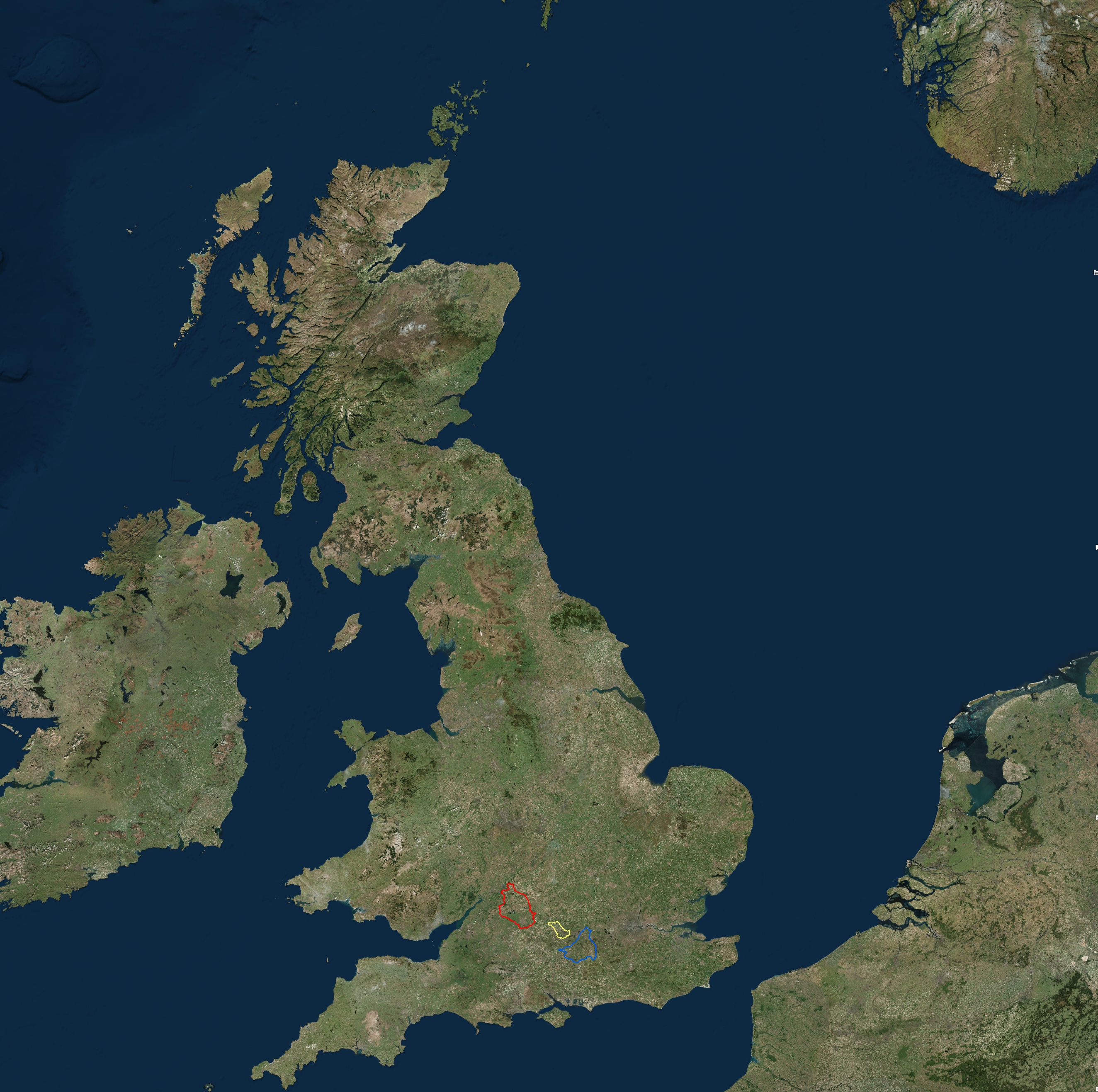
At the smallest scale, we will be going out into the field to see conditions, to measure properties of the soil and vegetation, and the structure of the landscape. This will help us to interpret the remotely-sensed data. On farms, features of interest may include vehicle tramlines, where regular use has compacted the soil, stopping rainwater from infiltrating down, and providing an easy path through vegetation for flood water flow. Uncropped margins at the edge of the field or the direction of ploughed furrows can also affect the path and speed of surface water flow. To identify these small features, we will acquire images with drones and light aircraft to acquire imagery of a few field sites.
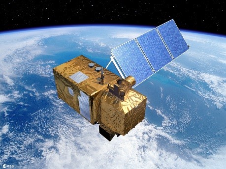
In addition to extracting visual information, we will be using remote sensing techniques to determine soil properties, so that we can model how the land will respond to flood events. Soil moisture can now be routinely estimated from NASA’s SMAP and ESA’s SMOS satellites at a fairly coarse resolution of about 40km, based on how much microwave radiation they naturally emit. By combining this with the radar on ESA’s Sentinel-1, this has been improved to 3km. We will be using a radar scanner equivalent to Sentinel-1’s in fieldwork to understand better how to interpret the Sentinel-1 observations and hopefully improve this resolution and accuracy further.
Remote sensing can also give some insight on how quickly soil is drying out, and therefore its capacity to soak up flood water. We are using imagery to estimate how much of the sun’s power is being reflected and absorbed and by using information on the vegetation cover, we can estimate how much of this absorbed power is being channelled into evaporation and characterise how the surface will respond to rainfall and flood flow.

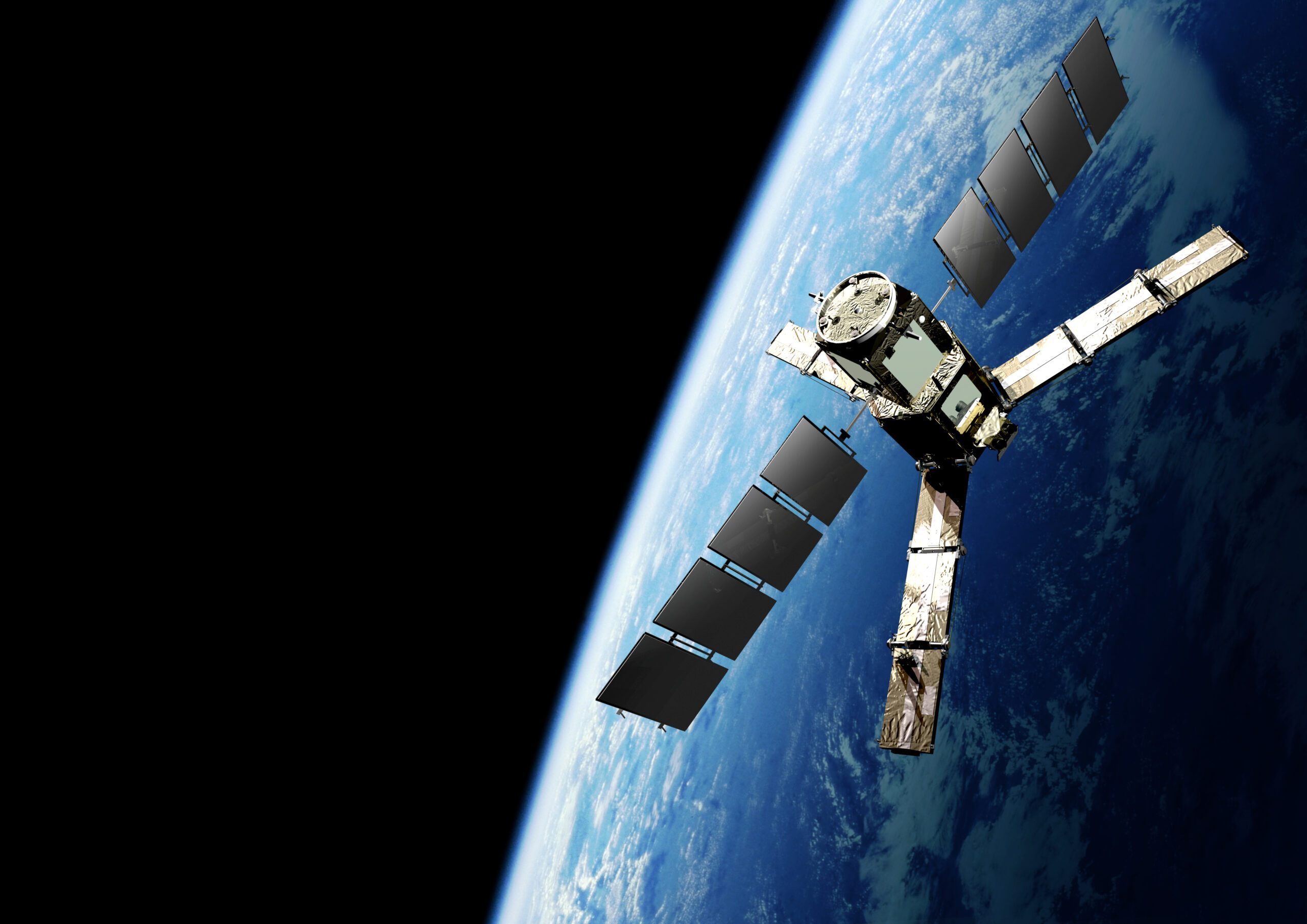
The European Space Agency Soil Moisture and Ocean Salinity mission measures the small amount of microwave light emitted by the Earth’s surface to estimate how much liquid water is stored in soil.
Image: European Space Agency Soil Moisture and Ocean Salinity mission © ESA.