


Welcome to the PETS2025 Challenge!
The challenge has ended!
- See Leaderboard
- See Results summary paper : for the details of all submitted methods and full evaluation results.
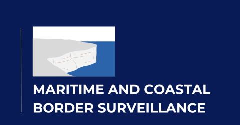
Join us in pushing the boundaries of maritime and coastal border surveillance.
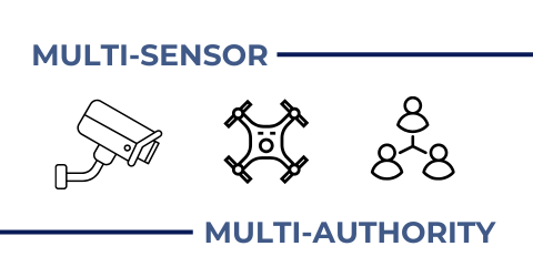
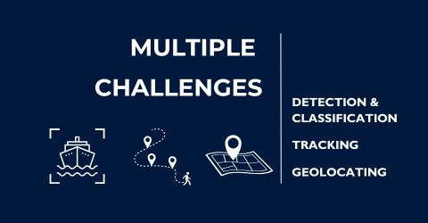
PETS2025 brings together cutting-edge technologies and multi-authority collaboration to tackle real-world challenges in detecting, tracking, and geolocating targets across complex maritime environments. It covers critical tasks including:
1. Target Detection and Classification
Target detection and classification in maritime and coastal areas using multi-platform and multispectral sensors
RGB Ground Sensor | Thermal Ground Sensor |
Ultra-Violet (UV) Ground Sensor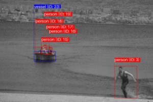 | Short-Wave Infrared (SWIR) Ground Sensor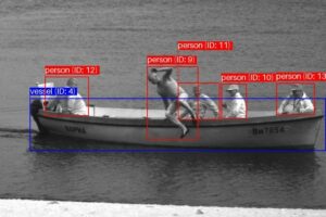 |
RGB UAV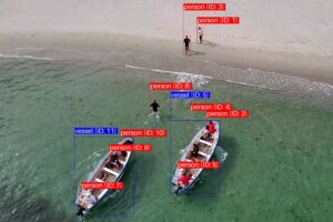 | Thermal UAV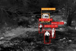 |
Images from different sensors, including visible (RGB), thermal, UV, and SWIR ground sensors, as well as visible (RGB) and thermal UAVs, with examples of three object classes: person, vessel, and vehicle.
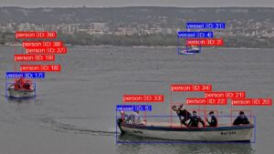
2. Long-Term Target Tracking
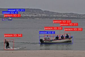
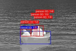
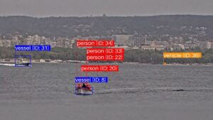
Tracking multiple targets across diverse terrains using multi-platform and multi-spectral sensors
 |  |
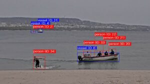 | 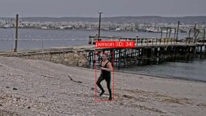 |
A sequence of visible ground sensor images showing the tracking of vessels and persons across different terrains, particularly "person (ID: 34)'' from the boat to the shore.
3. Target Geolocation Approximation
Approximating geolocations of specific targets using only imagery and telemetry data.
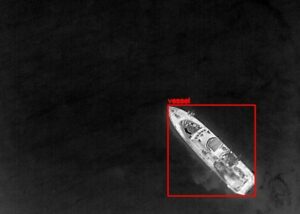 | 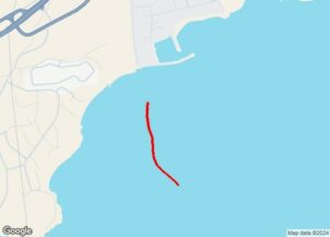 |
Example images showing a detected vessel and its geolocations over time, projected onto a map.
This challenge is sponsored by the EU-funded project EURMARS: An advanced platform to improve the EURopean Multi Authority bordeR Security efficiency and cooperation (https://eurmars-project.eu).