
John Robotham & Emily Trill, UK Centre for Ecology and Hydrology
Our soils are a crucial resource for sustaining human society. They provide an environment for food crops, trees and other plants to grow in; can host high levels of biodiversity; and can help to store carbon and thereby regulate our climate. Soils also have the ability to behave like sponges to soak up rainwater instead of letting it flow over the land as surface runoff, most typically seen on impermeable surfaces such as concrete. However, not all soils have the same potential to soak up and store water and ultimately help to reduce flood risk. A number of factors play a role in how easily water can infiltrate into soil and how well the soil holds that water. These include physical properties such as soil texture and structure, but also chemical properties such as organic matter, both of which can be influenced by the way land is used and managed.
To investigate how land use and management influence the hydrological properties of different soils across the West Thames River Basin we have been sampling soil for laboratory analysis as well as taking measurements directly in the field.
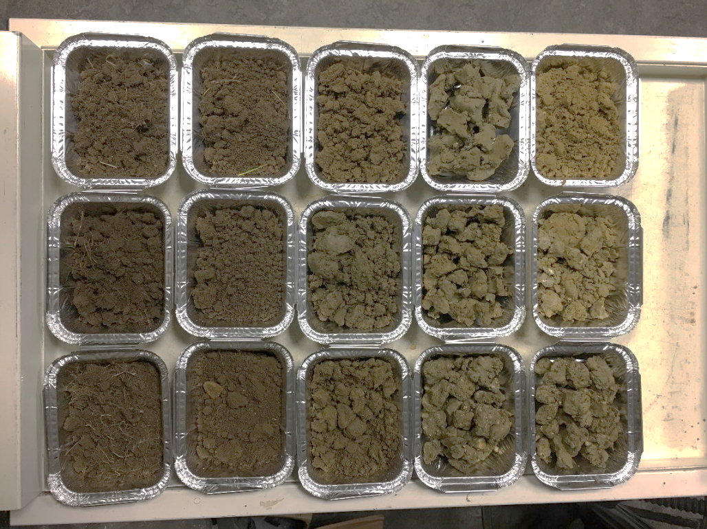
Following an extensive broad-scale field campaign (see Emily’s Landwise 3rd Annual Workshop 2021 presentation for more info), detailed field surveys were undertaken to sample soil profiles across a select number of sites, with soil being sampled from within fields, trafficked areas, and un-trafficked field margins. The photo below demonstrates changes down a profile at one of the sites, showing darker organic-rich surface soil (on the left), changing to a lighter-coloured soil at 1 metre depth (on the right) which starts to include some of the partially weathered parent material.
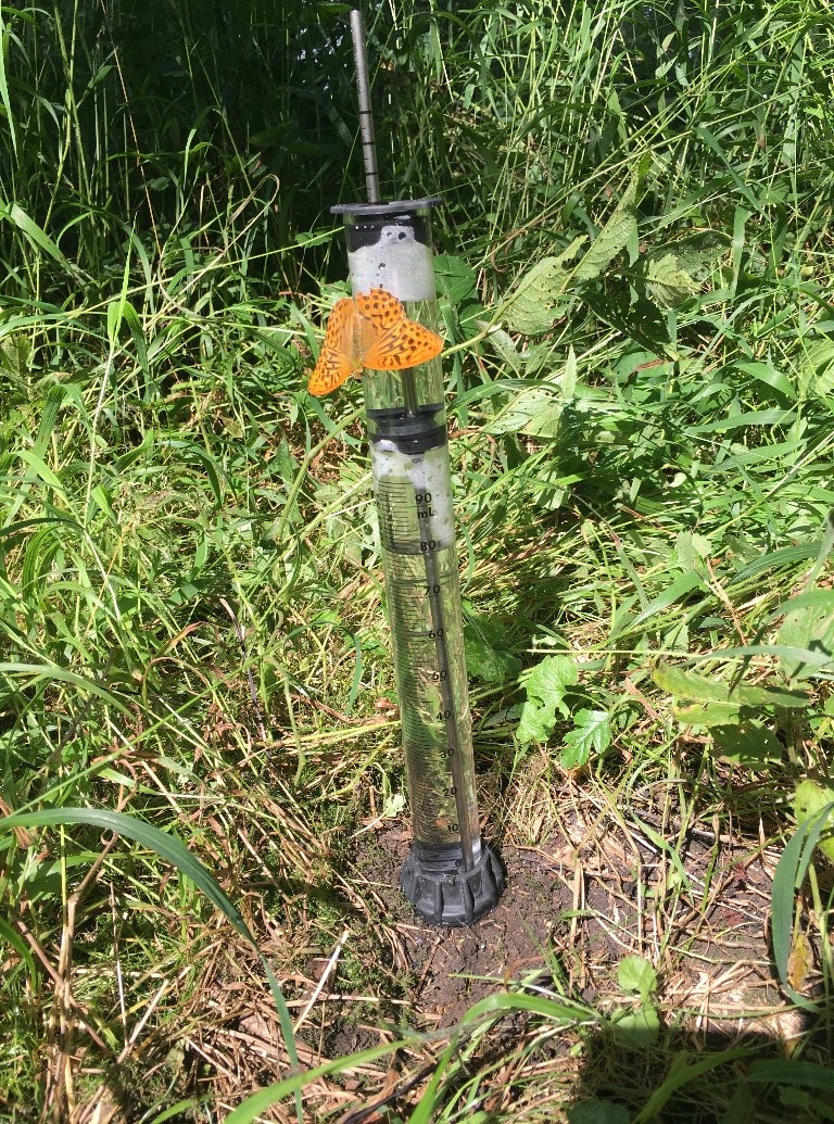
To test how easily water moves into and through the soil profile, we have also been carrying out field measurements of surface infiltration rate (Kunsat), as well as saturated soil hydraulic conductivity (Ksat) at 25cm and 45cm depths. We used Mini Disk infiltrometers to measure the rate at which water infiltrates the soil surface, taking measurements before and after the harvesting of crops in arable fields. Measurements were also taken on natural woodland soil (pictured below), permanent pasture, and fields with innovative soil management to compare different land uses and management types.
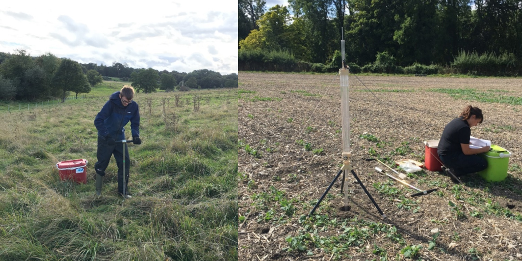
We then used the larger Guelph permeameters (pictured below) to measure the subsurface soil’s ability to transmit water under fully wet conditions (saturated hydraulic conductivity). Real-world measurements of these parameters are important as they can be directly incorporated into numerical models for predicting the hydrological response of a catchment to rainfall, and thereby crucially the potential for flooding to occur. Taking measurements within trafficked and un-trafficked parts of fields allows us to see how soil compaction from heavy farm vehicles impacts the movement of water through the soil.
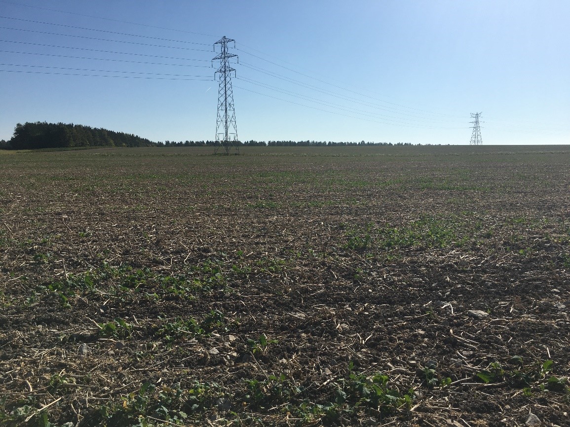
Land-based NFM measures include innovative farming practices such as the planting of herbal leys, cover crops, and the use of controlled traffic in fields. Over time these practices can improve soil structure and help to build up organic matter, which in turn enhances the soil’s sponge-like properties and potential for below-ground water storage. Such measures also have the potential to benefit water quality in catchments due to reducing run-off and soil erosion, thereby helping to prevent nutrient-rich soil washing into our streams and rivers. The photo below shows a cover crop starting to grow following harvest in late summer, helping to protect the soil underneath during rainfall in the autumn and winter months to come.
The research being carried out in the Landwise project ties in well with my PhD research which is also looking at NFM measures, specifically investigating their effectiveness at mitigating sediment and nutrient pollution. The growing evidence base on NFM will help to inform agri-environmental policy in the UK and provide guidance on how we can best manage our land and soils to reduce future flood risk alongside providing multiple benefits for society and the environment.