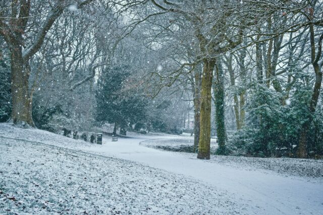
Cold winter weather in the UK almost always brings with it talk of snow.

British people tend to approach weather forecasts of snow with a combination of excitement and trepidation. Who doesn’t like the sight of unspoilt snow glittering over the rooftops like a Christmas card? But not many people enjoy the aftermath – an ice slush nightmare, soaking up the dirt from our streets and roads.
Forecasting snow is tricky in Britain though. And predictions tend to be uncertain. By the time British people reach adulthood, particularly those who live in southern England, a lot learn to treat forecasts of snow with cynicism. You might go to bed delighted by forecasts of snow only to wake the next day greeted by rain.
The UK’s erratic winter weather is caused by two things: its location and the fact that small differences in temperature can cause dramatic changes to the forecast.
The UK is located right where a number of different global weather systems converge. Unlike many places in the world, freezing weather in Britain is generally accompanied by northerly or easterly winds. But heavy precipitation (liquid or frozen water) is usually from the west. Colder weather in the UK makes precipitation less likely. Which is why if we see snow, it often arrives as a light shower or flurry.
Thick snow usually happens when precipitation from the west hits cold air from the east or north.
Don’t shoot the messenger
Weather forecasting has come a long way over the last four decades. Improved computing, satellites, transformed communication and data science have made weather forecasting much more accurate. In 2022, storm Eunice and the summer 40℃ heatwave are both examples of how much forecasting has improved. It is not only able to accurately predict “normal” weather, but also when extreme weather will occur.
Forecasters today can predict widespread precipitation down to the hour. So mapping out wet weather is not the problem. The issue is that British winters make it a lot harder to tell what form precipitation will take when it reaches us.
This means predicting whether we will get sleet, freezing rain, snow or just rain. If you watch weather forecasts on a regular basis you will probably have heard the vague phrase “wintry precipitation”. This is the forecaster wrangling with an uncertain forecast as the term covers everything from rain to snow.
A lot of the rain that we see in the UK, at all times of year, was snow when it started falling, but has fallen into air that is warmer than 0⁰C and melted. That means when forecasters predict rain, they are often predicting melted snow. If it’s 20⁰C in the summer, there is no doubt that by the time the snow reaches the ground it will have turned to rain.
For many places in the world the reverse is true. If the temperature is going to be -10⁰C, it will settle on the ground as snow. Back in 2018, in the UK the Beast from the East brought with it temperatures so low the meteorologists could confidently predict snow.
A headache for weather forecasters
Most of the time, however, UK weather forecasters are working with expected temperatures close to 0℃. In this case a very small change to the temperature totally changes the weather. Weather forecasts tend to be accurate down to a couple of ℃. But when your baseline is 0℃ then a rise of 2⁰C will mean the snow melts and we get rain. But 2⁰C colder and it’s just snow. Somewhere in the middle creates sleet.
Various UK precip types and formations… with my best powerpoint skills. #uksnow #pptninja @stormbell @weathergil pic.twitter.com/IlXxCNIhTG
— Dr Rob Thompson (@R0b1et) December 26, 2014
And this is the other main reason why predicting snow is so hard in the UK. A small difference in temperature makes a really big difference to the outcome.
Precipitation lowers the air temperature. Heavier rain drops the temperature even more. Heavier sleet turns to snow. This means that even if the temperature of the system is predicted correctly, the fine details of the rate of precipitation will affect the form. It just so happens that much of the wintry weather in the UK falls at the temperature that makes the outcome sensitive to tiny changes. So, I’m afraid the phrase “wintery precipitation” is here to stay.
Rob Thompson is a Postdoctoral Research Scientist in Meteorology at the University of Reading.
This article is republished from The Conversation under a Creative Commons licence.

