Why? How? What now?
Want to know more about our research? Here are some videos and summaries of our published work written in non-technical language. The video at the top provides a summary.
| Why? How? What now? The DARE project and its legacy
|
 |
| Improving weather forecasts by making the most of observations | |
| Every picture tells a story: predicting river levels & flooding (pdf) | 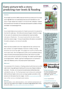 |
| Using observations from private cars to help predict the weather (video) (pdf) | |
Using satellite data for flood monitoring in urban areas:
|
|
| Making the best use of satellite data in river flood mapping ( pdf) | 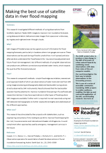 |
| New low-cost aircraft observations for improving weather forecasts (pdf) | 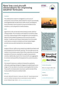 |
| Data assimilation: The secret to better weather forecasts (video) |  |
| How accurate are our atmospheric observations? (pdf) |  |
| High speed mathematics: reducing the computation time for weather forecasting (pdf) |  |
| Flood inundation mapping with data assimilation (pdf) |  |