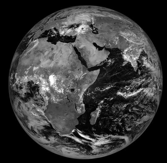
On the last day of the UK National Earth Observation Conference 2022, Vicky Boult explains the vital importance of using satellite technology to improve rainfall estimates and drought contingency planning.
Over 200 million people in sub-Saharan Africa depend on rainfed subsistence agriculture. The amount and timing of rainfall is thus of crucial importance to lives and livelihoods across the continent. Information about rainfall can help farmers make informed agricultural management decisions with the potential to improve productivity and economic stability.
However, the ground-based rainfall monitoring network in Africa is so sparse that less than 2% of the population live in the vicinity of a rain gauge, meaning that many millions of farmers do not have access to high quality, local rainfall information.
Satellite technology can provide an alternative source of rainfall information and the TAMSAT group at the University of Reading have developed a satellite-based rainfall estimation system for Africa.
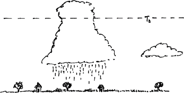
TAMSAT makes use of thermal infra-red (TIR) imagery collected by the Meteosat satellite. TIR imagery can detect the temperature of surfaces and satellite-based TIR sensors detect the temperature of the Earth’s surface and the tops of clouds.
Rainfall over Africa predominantly falls from towering convective clouds. When these clouds reach a certain height or altitude, they cause rain. Temperature, detected by satellite-based TIR sensors, can indicate the height of convective clouds and can thus tell us whether it is raining. The duration at which cloud tops persist below a certain temperature threshold subsequently tells us how much rain has fallen.
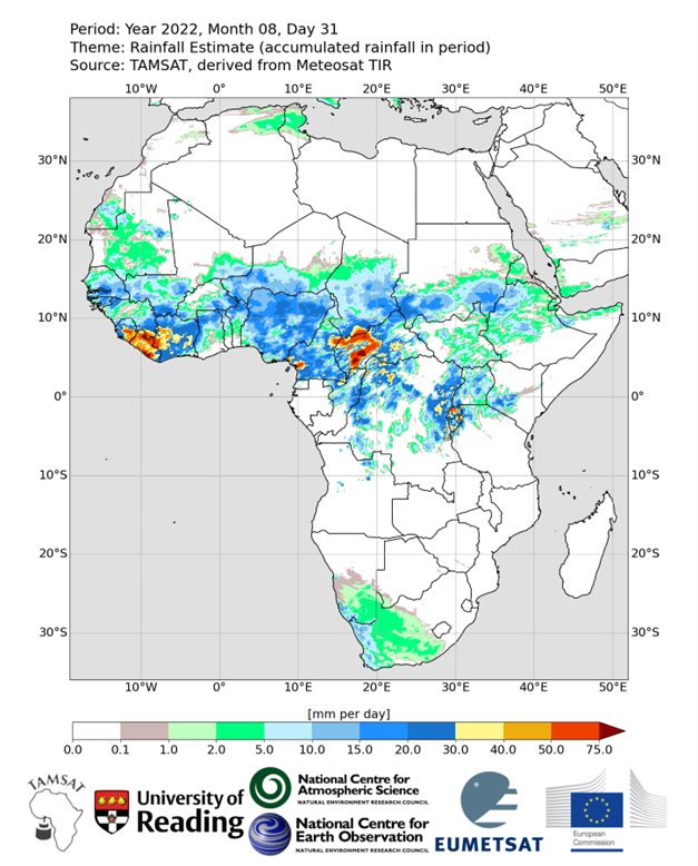
Operationally, TAMSAT retrieves TIR imagery from Meteosat every 15 minutes and uses a carefully calibrated algorithm to convert cloud top temperatures to daily estimates of rainfall at a 4km resolution for all of Africa. Recent developments now mean that daily estimates are available within 24 hours (in other words, rainfall estimates for yesterday are available today).
Owing to the near real-time availability and skill in detecting anomalous rainfall, TAMSAT data is used by a range of sectors. Notably, TAMSAT is increasingly used in the financial sector to provide weather-index insurance (WII) to farmers across Africa. Like traditional insurance, WII provides financial protection against crop losses caused by adverse weather, but rather than insurers having to verify crop losses, WII pays-out based on a breach of a weather threshold. This approach makes WII cheaper to administer and more affordable to farmers. Moreover, with the use of TAMSAT data, WII is no longer limited to those farmers in close proximity to weather stations, meaning more farmers have access to financial support should their crops fail. Since 2015, pay-outs from TAMSAT-based WII have compensated approximately 3 million farmers for drought-induced crop losses, with insurance pay-outs of an unprecedented USD $14m.
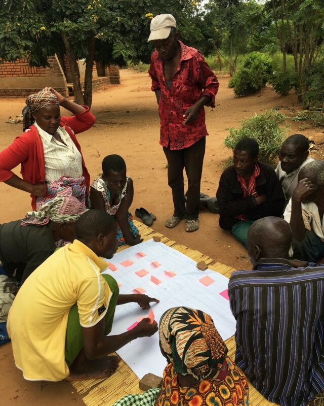
TAMSAT staff regularly facilitate workshops and deliver training courses across Africa. These activities have established a culture open to the adoption and development of innovative climate services. Examples include Rainwatch and Enhancing National Climate Services (ENACTS). Through ENACTS, TAMSAT data is combined with rain gauge measurements to provide high quality rainfall information to improve national drought contingency planning in Mali, Ghana, Zambia, Rwanda, Madagascar, Tanzania and Ethiopia, and regionally across West Africa.
Current research within TAMSAT is focused on improving our rainfall estimates and providing associated measures of uncertainty. We hope these innovations will allow us to provide increasingly reliable rainfall information to users across Africa.
TAMSAT stands for Tropical Applications of Meteorology using SATellite data and ground-based estimates. All TAMSAT rainfall estimates are freely available at: www.tamsat.org.uk
Vicky Boult is NERC Knowledge Exchange Fellow in the Department of Meteorology at the University of Reading.