
25 November 2019
I spent the last week in Accra, the capital of Ghana. It was incredibly hot and stuffy for this time of the year (minimum 26C, maximum 31C), which is natural if we consider this city is only 5N of the Equator. The food was delicious (I stuffed myself with joloff rice and fried fish) and I enjoyed sunsets when colonies of bats flew over the city.
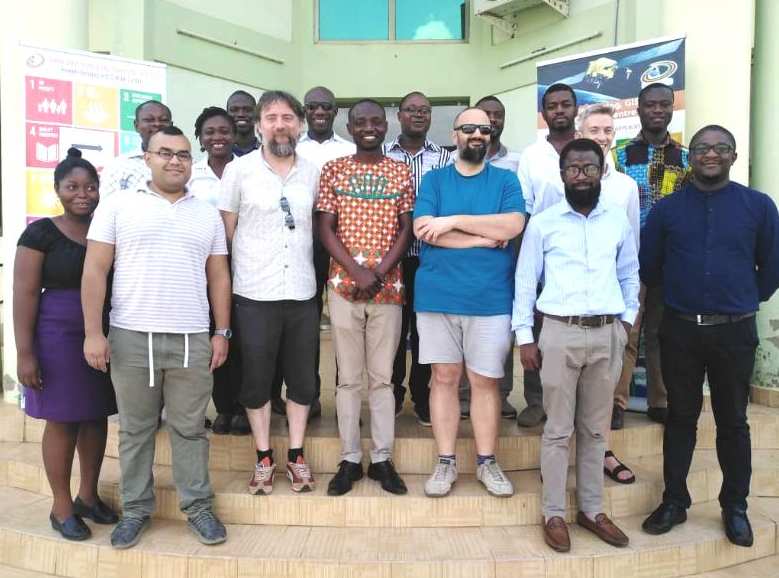
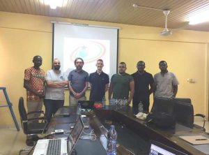
In this trip I was accompanied by Ewan Pinnington and Tristan Quaife from University of Reading, and Jose Gomez-Dans from University College London. We were in a mission for the UK National Centre of Earth Observation (NCEO), to which the four of us belong. Our mission was to deliver a training course in data assimilation and Earth observation for the young Ghana Space Science and Technology Institute (GSSTI). This institute is located in the northern outskirts of Accra in the campus of the School of Nuclear and Allied Sciences. The participants of the course included people from GSSTI, the Ghana Statistical Institute, the Ghana Meteorological service, and a member of the United Nations Food and Agriculture Organisation (FAO).
This course is part of the continuous collaboration between scientists of the UK and Ghana under the Official Development Assistance (ODA). This program exhorts developed countries to dedicate a percentage of their gross domestic product (GDP) as aid to help foster prosperity in developing countries. This scheme was started by the Organisation for Economic Co-operation and Development (OECD). A country can participate directly with monetary aid, but also through knowledge and expertise. Our training course belongs to the latter category.
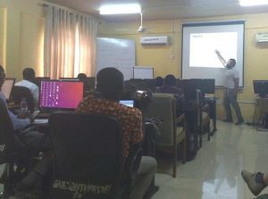
In the course I went through the fundamental aspects of data assimilation: definining the estimation and forecasting problem, revising some basic concepts of probability and statistics, and emphasizing the role of Bayes’ Theorem as a central aspect of data assimilation. I then explained some of the basic families of data assimilation methods: variational and Kalman-based. We did some computer experiments with a toy model in order to illustrate some ideas.
My colleague Jose Gomez-Dans then presented something more specific to fulfill the needs of our audience. In particular, people were quite interested in using satellite observations to infer the conditions of crops in the north of Ghana, and then use land-surface models to predict the yield at the end of the season. These models contain information about the biology of the crops, human activities, and they are forced by meteorological products. He helped the participants run some experiments remotely from some computers from UCL with observations from the Sentinel Mission of the European Space Agency (ESA).
We had a great week and it the course was very well received by the participants. It was rewarding to see science transcending the ever tighter borders, institutions opening doors instead of closing them, and people collaborating instead of fighting. We hope to continue our collaboration with GSSTI, and we are planning on coming back in 2021.