by Dr RobThompson and Prof Anthony Illingworth, Dept of Meteorology, University of Reading
The UK operational radar network has the potential to deliver real-time rainfall estimates every five minutes with a resolution of 1km2 over most of the populated areas of the UK. If these rain rates were accurate then such data would have a major impact on the ability to predict short term ‘flash’ flooding events so that mitigating action can be taken. However, at present, for flood warnings, the accuracy is deemed insufficient, so the radar rainfall estimates from each radar are continuously adjusted using recent observations by ground-based rain gauges.
The UK radar network has recently been renewed and upgraded to dual polarisation, resulting in much improved data quality. In this study we will compare the radar signal obtained every five minutes from the operational Dean Hill radar with the rain rate at the ground some 20km from the radar and just 400m below the radar beam and use this to validate and improve the retrieval algorithms that convert the radar return signal, or ‘reflectivity’ into a rain rate at the ground.
In the preparatory work for this DARE pilot project we have been comparing the radar reflectivity observed every five minutes with the scanning Dean Hill radar 20km distant from Chilbolton where we have five different high resolution rain gauges. The radar pulse samples a volume 300m by 300m by 600m and is at a height of 400m above the gauges (see image). One of these gauges measures the size distribution of the rain drops and so once we know the sizes and number of the drops we can calculate the radar reflectivity we would expect from the radar. Over the past two years we find close agreement, but there appears to be a slow drift in the radar calibration of about 60%. In collaboration with the Met Office we are trying to find the source of this drift. However, once we correct for this drift, we find that with the new radar and its improved data quality there is a close correspondence between the rain from the radar and that observed at the ground. This performance appears to be much better than previously obtained before the radars were upgraded.
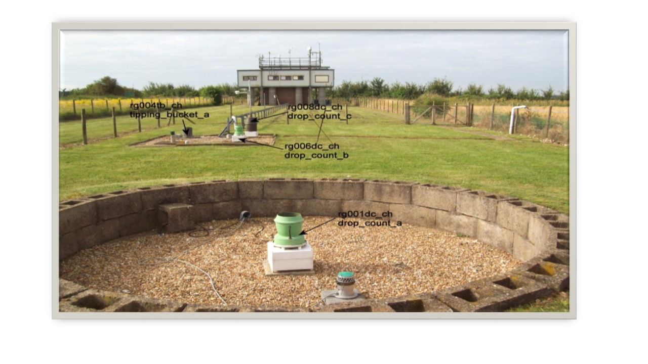
Image. Multiple rain gauges