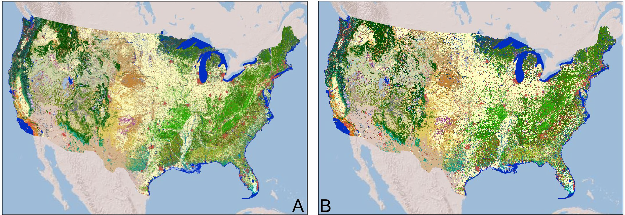
The possibility that people had a significant effect on global climate in the pre-industrial era is still a matter for debate. The introduction and spread of agriculture during the Neolithic obviously had profound consequences for natural vegetation and land use, and this in turn could have had impacts on regional climate. Model simulations have shown that when you change land surface properties, such as surface roughness and albedo, then there large impacts on land-atmosphere exchanges of energy and water. The key question remains: how much of a change in land-surface properties do you need to have a discernible global impact? Attempts to quantify this have been hampered by the fact that attempts to map changing land use during the past 10,000 or so years are based on very simple assumptions about how many people were around, and how much land was required to support them. Different groups have come up with radically different estimates of land use changes through time.
The LandCover6k working group (http://pastglobalchanges.org/science/wg/landcover6k/intro ) of the Past Global Changes (PAGES) programme has been working towards providing a more secure data-based estimates of regional land-use changes, with the aim of using these estimates to create reliable maps of anthropogenic land use and land cover (LULC) changes that can be used as inputs to climate model simulations. Last year we provided a protocol for the development of LULC scenarios for model simulations (https://gmd.copernicus.org/articles/13/805/2020/). Now, as a further step in producing reliable estimates, LandCover6k has published a paper describing a simple, hierarchical classification of land use practices that has global applicability. The new paper was published this week in PLOSOne (https://journals.plos.org/plosone/article?id=10.1371/journal.pone.0246662).


