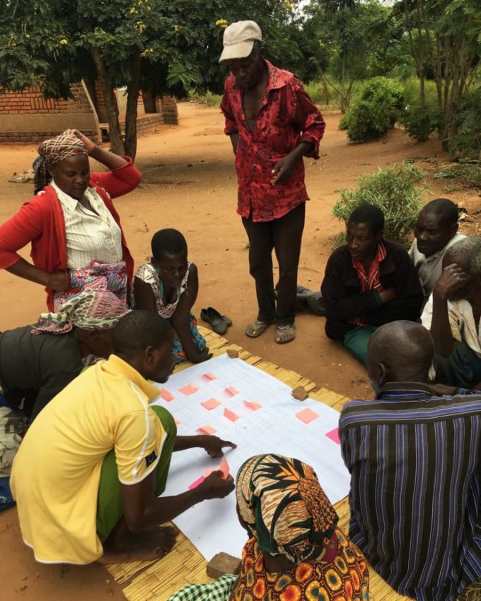
Drought can drastically affect the outlook for the 200 million smallholder farmers who rely on rainfed agriculture across Africa; when crops fail, farmers struggle to feed their family and cannot invest in seeds for future harvests. Although insurance against drought has long been available, it usually only compensates farmers for proven crop losses. Weather index insurance (WII) presents an alternative solution; it provides pay-outs if cumulative rainfall drops below a pre-agreed threshold. But until recently, only one in a hundred farms was close enough to rain gauges to be eligible. Now, TAMSAT’s satellite-derived rainfall estimates mean more farmers can get cover.
Professor Black’s team, working in partnership with financial and agricultural organisations in Africa, has developed a suite of services under the Satellite data for Weather Index Insurance (SatWIN) project. The resources are free to use and easy to apply. They provide robust rainfall and soil moisture datasets, together with validation tools and guidelines.
Uptake of TAMSAT-based insurance products has soared throughout Africa. For example, TAMSAT data have been used by the Zambian Government to insure over 2 million farmers since 2017. During the 2017-18 rainy season, drought conditions in Zambia, identified by TAMSAT data, resulted in insurance pay-outs of more than US$3 million.
With success proven, SatWIN services are being rolled out across Africa and employed by international development agencies, including the Red Cross, to protect millions of vulnerable households.
Partners: Risk Shield (Zambia) – Insurance Consultants, International Research Institute for Climate and Society/Penn State, Ghana Meteorological Agency
Funders: Natural Environment Research Council, Global Challenges Research Fund, National Centre for Atmospheric Science
Shortlisted for the University Research Engagement and Impact Awards 2019
First published: June 2019

