Robust rainfall monitoring is helping to mitigate climate-related risks in African countries
There are more than 200 million people living in sub-Saharan Africa who depend on rain-fed subsistence agriculture; rainfall can truly be a matter of life and death. A reliable and robust method of monitoring rainfall in Africa, developed at the University of Reading, is generating data that are being widely used to support agricultural decision making, anticipate drought and low crop yields, predict outbreaks of rain-promoted diseases, support drought insurance provision, and target aid efforts. The data generated by this programme are helping organisations around the world support some of the poorest and most vulnerable people on the planet.
Predicting drought
Although communities across sub-Saharan Africa depend on agriculture for their livelihoods and wellbeing, there is a paucity of on-the-ground equipment and infrastructure for monitoring rainfall. In order to meet this need, scientists at the University of Reading developed a way of using satellite imagery to estimate rainfall.
The method, known as TAMSAT (Tropical Applications of Meteorology using Satellite Data and Ground-Based Observations), uses thermal infra-red images to estimate daily rainfall. The Reading team use long-term relationships they’ve observed between the satellite data and the available data from on-the-ground rain gauges to calibrate the TAMSAT data. These calibration techniques have been developed and improved over several decades to not only improve the accuracy of TAMSAT data, but to also extend the regions it covers.
The TAMSAT scientists now issue daily rainfall estimates for the entire continent of Africa. These data are particularly suited for drought and food monitoring as they identify periods of above- or below-average rainfall in real time. The European Commission Joint Research Centre (JRC) uses TAMSAT rainfall estimates for their routine agricultural monitoring products, which are then used by other European Union services working in food security, such as the European Civil Protection and Humanitarian Aid Operations, and United Nations agencies such as the Food and Agriculture Organization. Early warning of crop failures can then trigger responses by these different organisations.
TAMSAT data have also been used for weather-based index insurance. Most of us are familiar with claim-based insurance where a payout is based on a claim filed by the insured. However, this approach isn’t practical for subsistence farmers in Africa as it’s too expensive to have loss adjustors go out and assess individual crop losses. Weather-based index insurance pays out if a weather index is breached, such as a drop in rainfall for a specified amount of time.
The Reading scientists are working closely with organisations and consultants to look at long-term variation and change using over 30 years of rainfall estimates, in order to help design these indices so that they pay out fairly. Organisations including Risk Shield, MicroEnsure, Swiss Re, Hannover Re and Zambia Re have all used TAMSAT rainfall data for providing drought insurance. This year over one million farmers in Zambia, Rwanda, Tanzania, Kenya, Malawi and Nigeria will be insured using TAMSAT data through mixture of commercial, donor-led and government schemes. Many thousands of pay-outs have been made during dry years, making an enormous difference in the lives of these poor farmers.
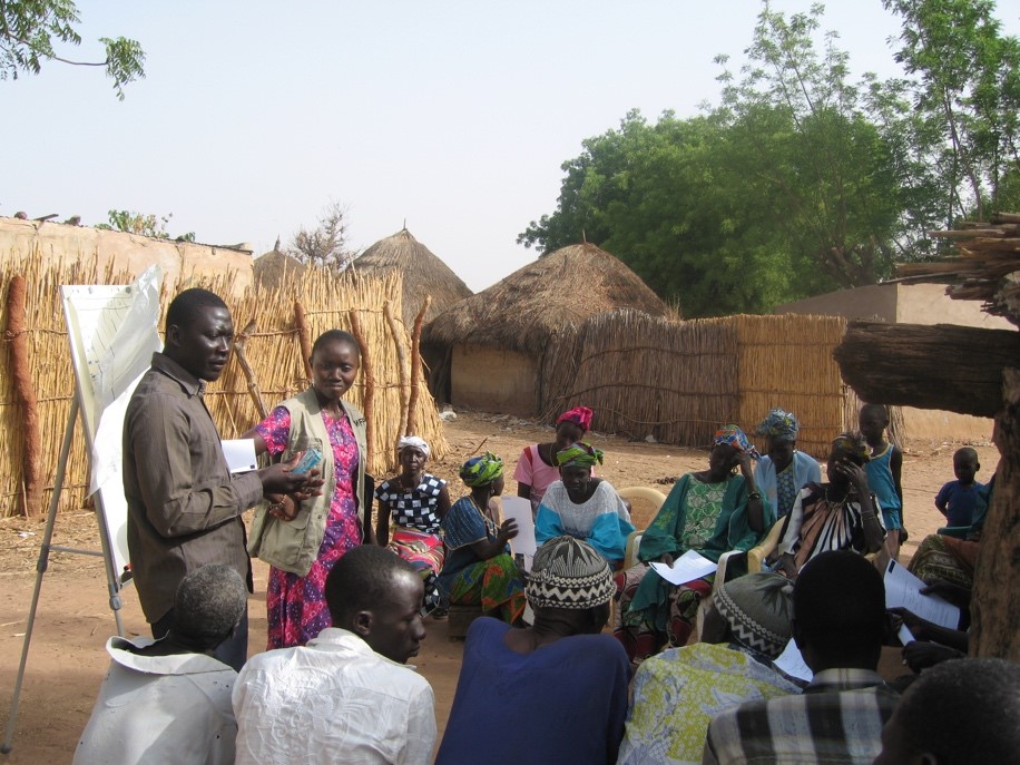
As well as providing data, the TAMSAT team is committed to building capacity within the agricultural, financial and meteorological sectors across Africa – running workshops, installing custom-made training software, training graduate students and finding new ways to apply TAMSAT data for climate services across Africa. The Ethiopian National Meteorological Agency stated that: “TAMSAT played an important role in building capacity to generate quality rainfall products for both real-time and historical data use in Ethiopia.”
The advent of cloud-based computing services, and the adoption of mobile phones, even in the remotest parts of Africa, is bringing new opportunities for TAMSAT. For example, an app under development will use TAMSAT data to advise on optimal crop planting dates in Kenya and Rwanda. The TAMSAT group is now working directly with major organisations, including the Bill and Melinda Gates Foundation and the One Acre Fund, to provide climate services directly to those who need them the most.
TAMSAT data in use
- the European Joint Research Centre for their routine agricultural monitoring programs and occasional famine early warning bulletins
- by aid organisations during the 2011/12 Sahel crisis to understand how the crisis was developing and focus relief efforts
- by One Acre to provide agricultural decision support to over 300,000 farmers
- by the insurance and re-insurance industry to provide drought insurance for over 1 Million farmers
- by the ENACTS initiative, delivered by the National Meteorological and Hydrological Services and Regional Climate Centres in Africa, to develop products that support local, national and regional climate-sensitive development decisions
- by the Ugandan, Senegalese, Ethiopian and Sudanese meteorological services for routine monitoring of rainfall.
Fast Facts
- TAMSAT data are used to insure over 1 million farmers who would not otherwise have access to insurance.
- Daily rainfall estimates are issued every five days, at a spatial resolution that is reliable to 10 km. It is the only available product that meets the European Union Joint Research Centre’s strict requirements for consistency, latency and skill.
- TAMSAT data were used to help target relief efforts during the 2011/12 Sahel crisis when 18 million people across 9 countries were vulnerable to drought-driven famine, putting more than one million children’s lives at risk. Aid agencies such as Oxfam and Save the Children considered the response to be better than in previous crises.
Further information
- TAMSAT was established by the University of Reading in 1977 to enhance the capacity of African meteorological agencies and other organisations by providing and supporting the use of satellite-based rainfall estimates and related data products. The TAMSAT group works closely with the Climate Division of the National Centre for Atmospheric Science (NCAS) and the National Centre for Earth Observation (NCEO) in order to extend the range of climate services it provides through the development of new datasets and other products. The TAMSAT programme is led by Dr Emily Black, NCAS-Climate – Senior Scientist, and Associate Professor at the University of Reading and Dr Tristan Quaife, NCEO Senior Scientist and Associate Professor at the University of Reading. TAMSAT operations are led by University of Reading Earth Observation Core Scientist, Dr Ross Maidment.
- The dataset derived from TAMSAT versions 2.0 and 3.0, was recently described and evaluated in a paper titled ‘A new, long-term daily satellite-based rainfall dataset for operational monitoring in Africa’, published in Nature Scientific Data in 2017.
- Funding for this research has been received from the Bill and Melinda Gates Foundation, Department for International Development (DFID), European Commission, Global Challenges Research Fund, InnovateUK, Leverhulme Trust, Natural Environment Research Council (NERC) and USAID.
- In 2016, the TAMSAT programme was highlighted in NERC’s semi-annual bulletin as an example of how NERC-funded research is helping to support 13 of the 17 United Nation’s Sustainable Development Goals.
- In 2010, TAMSAT received the “IBM Award for Meteorological Innovation That Matters” from the Royal Meteorological Society, recognising the impact the programme has had in Africa and the importance of the data it provides in developing regions.