Digital Archaeology
Digital technology has revolutionised the way that we can record and present archaeology. Digital cameras, electronic survey equipment, geophysical technology and LiDAR have all made remote sensing, excavation and post-ex analysis a lot easier, quicker and cheaper, combining to increase what we can learn about the past. Perhaps one of the most exciting and increasingly popular ways of recording archaeological sites and finds is by creating a 3D model using a process known as photogrammetry
University of Reading undergraduate student Diana McNutt takes us through the process of creating a 3D model of a Roman bow brooch using this process
A number of models created by the University of Reading and hosted on SketchFab can be found here
Here’s some of the best from Silchester
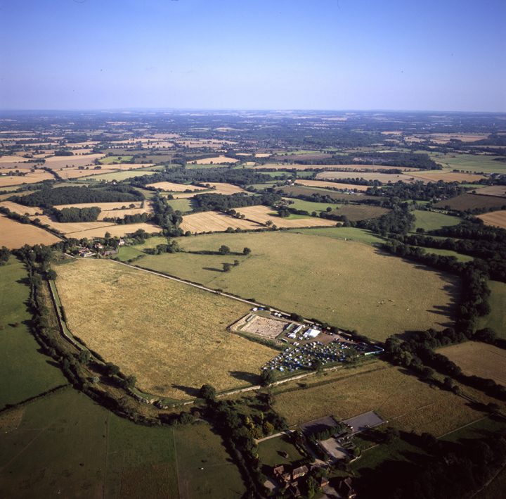
The last example was created by flying a drone over the site and taking photos from height. Here’s a video from above during week 2 of 2019, just after it had rained
Photogrammetry models are great ways of showcasing an archaeological site to the public and students – particularly useful in the current climate. Here Amanda takes us on a virtual tour of Trench 2
Nick summarises the findings from Trench 4
Find out more…
How do we take photographs of finds?
This 3D model of Silchester based on LiDAR technology shows the topography of the town


