Insula IX
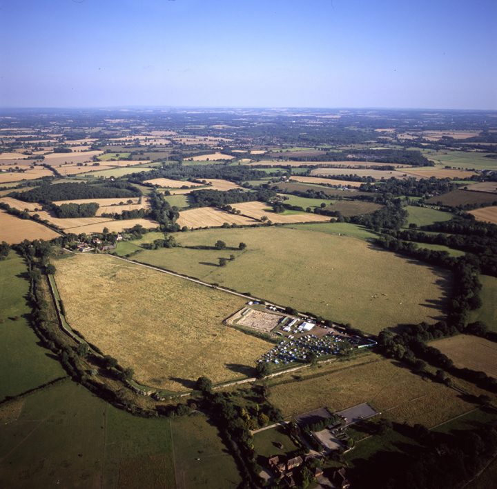
Insula IX was first excavated in 1893-4 and was therefore one of the earliest to be systematically investigated. The most effective method of exploring a rectangular area, such as a city block, where it is expected that buildings will share the same orientation as the insula, is by diagonal trenching. A number of trenches have been identified within our area of excavation of insula IX and it is now possible to suggest a sequence of events. There are 4 main phases: 1) initial exploration 2) exploration from east-west road at the north of the insula southwards 3) exploration of buildings 4) further trenching.
| Phase 1 |
[Plan] |
| We can trace only one trench (1060) which cut its way right across our excavated area, and on this basis it is likely to be one of the earliest. This trench will have drawn attention to both House 1 and Block 1 (our Building 1). A second trench (1574) originates from close to the south-west corner of our excavation area and may have been started at the same time as the first, but it does not extend far beyond the point of intersection with the first, where it meets a third trench (1070), parallel with, and close to, the first. Like the second, this too does not extend right across the site. A fourth ‘diagonal’ trench (1776) may belong to this phase. It is broadly parallel with trenches 1060 and 1070, and may have started from the northern side of the insula, once trench 1060 had found the street line. It only cuts across the outermost wall of House 1. |
|
|
| Phase 2 |
[Plan] |
| This involves exploration from the road southwards. |
|
|
| Phase 3 |
[Plan] |
|
|
|
| Phase 4 |
[Plan] |
| This phase explores the remaining ‘blank’ areas, using each of the buildings already discovered as the source of the trenching. Thus this phase comprises trenches dug either from the buildings outwards, usually extending the lines of walls already found, or at close to right angles to one of the sides. A further three or four trenches extend at right angles to the street south towards House 1 whose wall lines they respect. Their orientation presupposes that the line of the street had been established. The group of three ‘diagonal’ trenches in the south-west corner (1011, 1070, 1014) have spaces between them of approximately 1m. This is similar to the interval between trenches 1060 and 1070 and two pairs of trenches at right angles to the east-west street at the north of the excavated area (1317, 1331 and 1036, 1032). Of the three trenches on an east-west orientation, two in the north-east of our area are difficult to explain: one is close to the street (1893), while the second is a relatively shallow cut (1259), only c.1m to the south. While these were interpreted as Victorian when they were excavated (one has produced a sherd of 19th century pottery), their character and orientation are anomalous, raising the possibility of their having originated as Roman construction or robber trenches, perhaps re-excavated in 1893. Such trenches, sited to explore the ‘blank’ areas, were also sufficiently sensitive to identify the softer fills of wells and substantial pits, as well as locating isolated structures such as hearths. |
|
|
|


